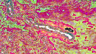
Ocean Floor Topography based on SEASAT Radar Altimeter

This single-band image is derived from radar altimeter measurements take by SEASAT. The altimeter measures ocean surface height; due to gravitational forces, this correlates with the topography of the underlying ocean floor. This image, from an area off the coast of Hawaii, shows distinct ridges and undersea mounts.
|