Color-Sliced Digital Elevation Model
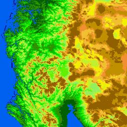
DRAGON can be used to visualize spatial data other than remotely-sensed imagery. This image shows a digital elevation model, which portrays the topography of an area. Assigning different colors to different elevations makes it easy to understand the landforms of the area.
|


