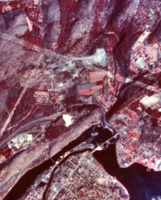
Color InfraRed Aerial Photo

Digitized CIR photo of Greenfield, Massachusetts. Digitizing (scanning) an aerial photo and then analyzing the image digitally makes it possible for the individual color components of the image to be separately enhanced, to improve identification of ground features. In this image, DRAGON was used to emphasize the red band, using a Gaussian stretch, so that vegetated areas are very easy to distinguish. |